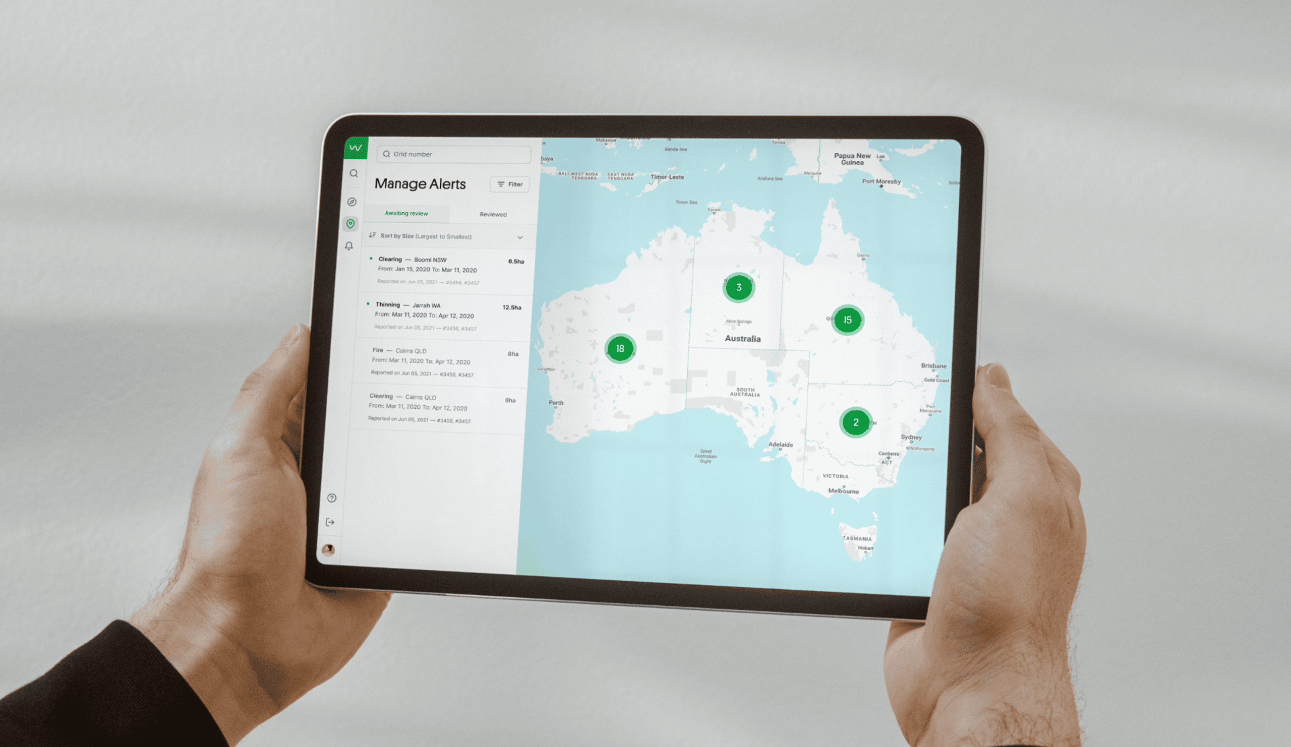
The Wilderness Society (TWS) approached us with a pre-existing website that had been built as a power user tool for a small number of in-house geospatial analysts. Unfortunately over 90% of analyst time was spent combing through map imagery searching for potential clearing. An issue that was exacerbated by a counterproductive user experience that made navigating these maps slow, tedious and confusing to interpret.


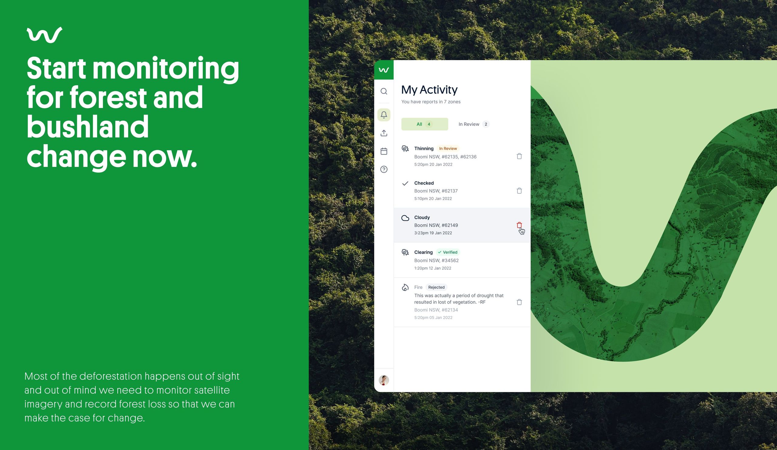
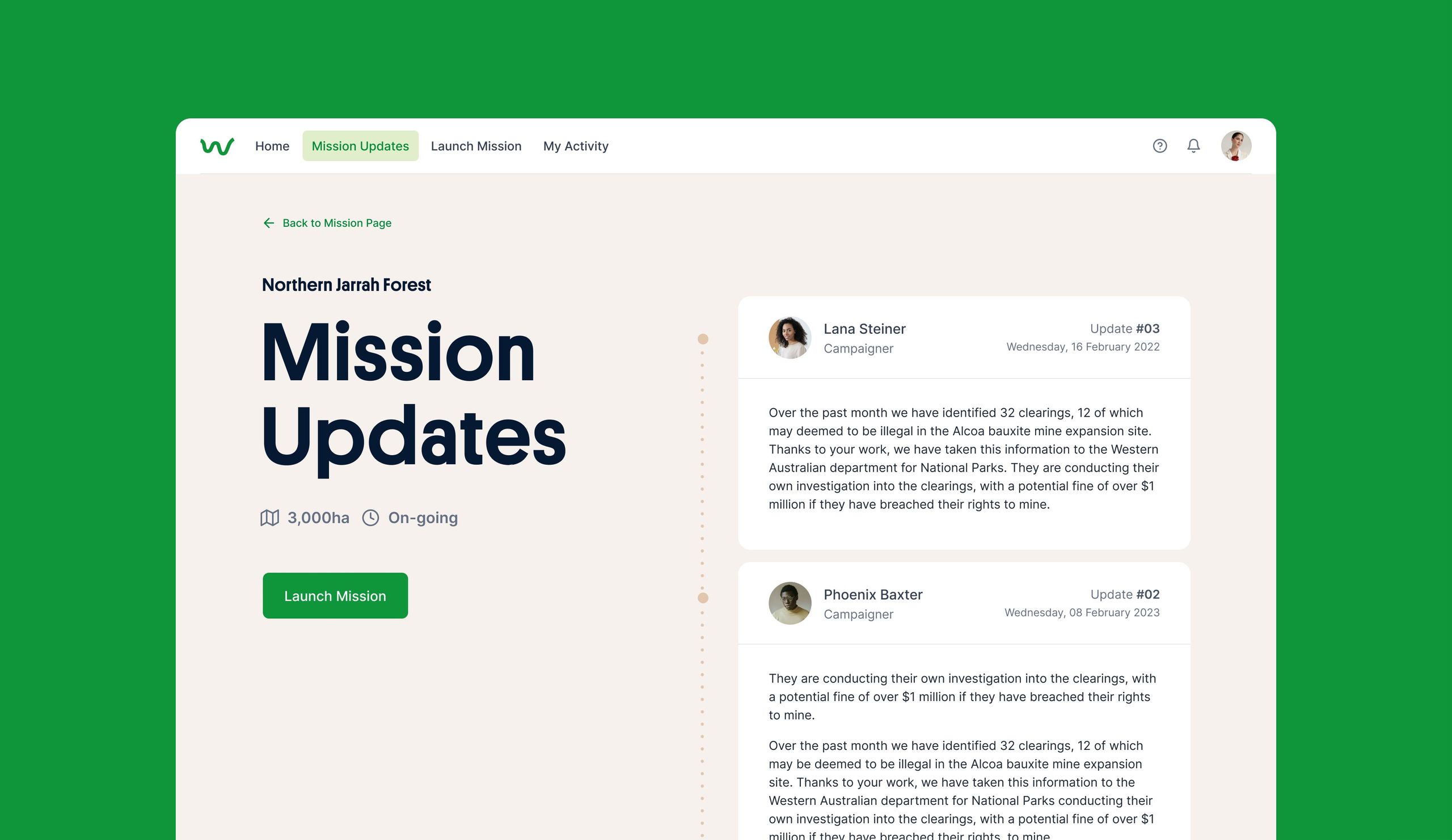
Our team proposed to re-envision Watch on Nature as a community campaigning platform for The Wilderness Society to engage and activate their volunteer base around strategic areas of interest that were at high-risk of clearing.
By opening up the ability to monitor near real-time satellite imagery to the TWS community, the total number of clearing events discovered increased substantially. This enabled analysts to focus their limited time on validating submissions and catching clearing events while they are still underway.


“The intersection of macro impact, grassroots involvement and technology makes Watch on Nature a very strong proposition. It’s powerful enough to ensure decision-makers acknowledge the issue and create change, yet also addresses the individual barrier of, “I’m too small to make an impact”. We would happily call Watch On Nature a triple 'top-line' project involving People, Planet and Purpose (and ideally, Profit).”— The Good Design Awards Jury 2023